
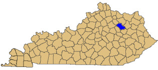
Maps
Bath County is located in Kentucky's Outer Bluegrass region. The Knobs region, visible from Olympian Springs, separates Bath County from the Appalachian Mountains and Eastern Coal Fields to the southeast.
While Bath County has been primarily a farming community since its earliest days, iron mining in several areas and logging provided additional sources of employment during the 19th century.
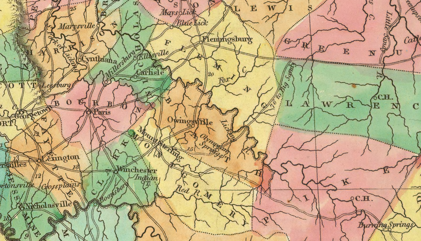
1822 Map of Bath County
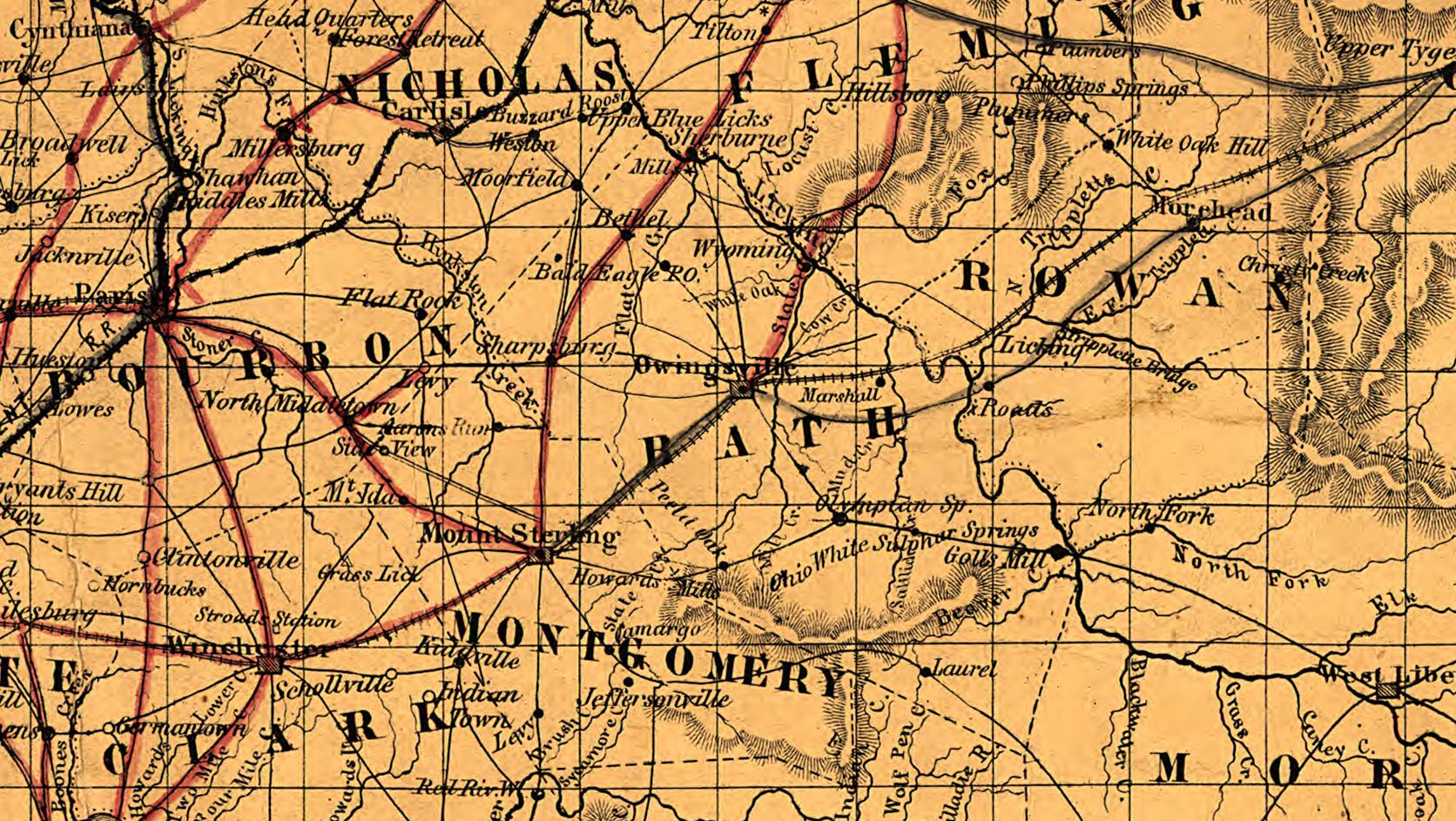
1861 Civil War Era Map of Bath County
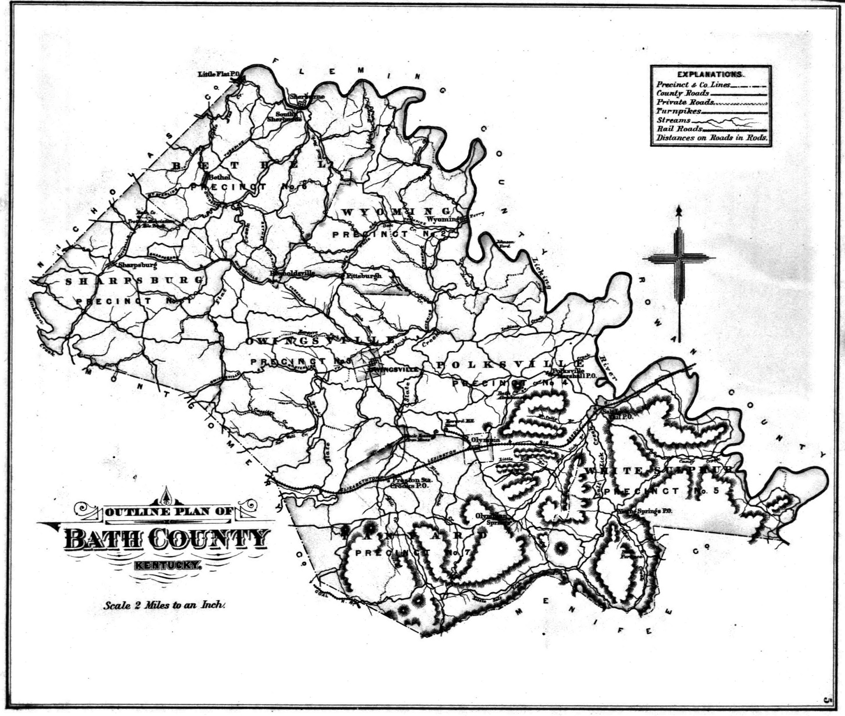
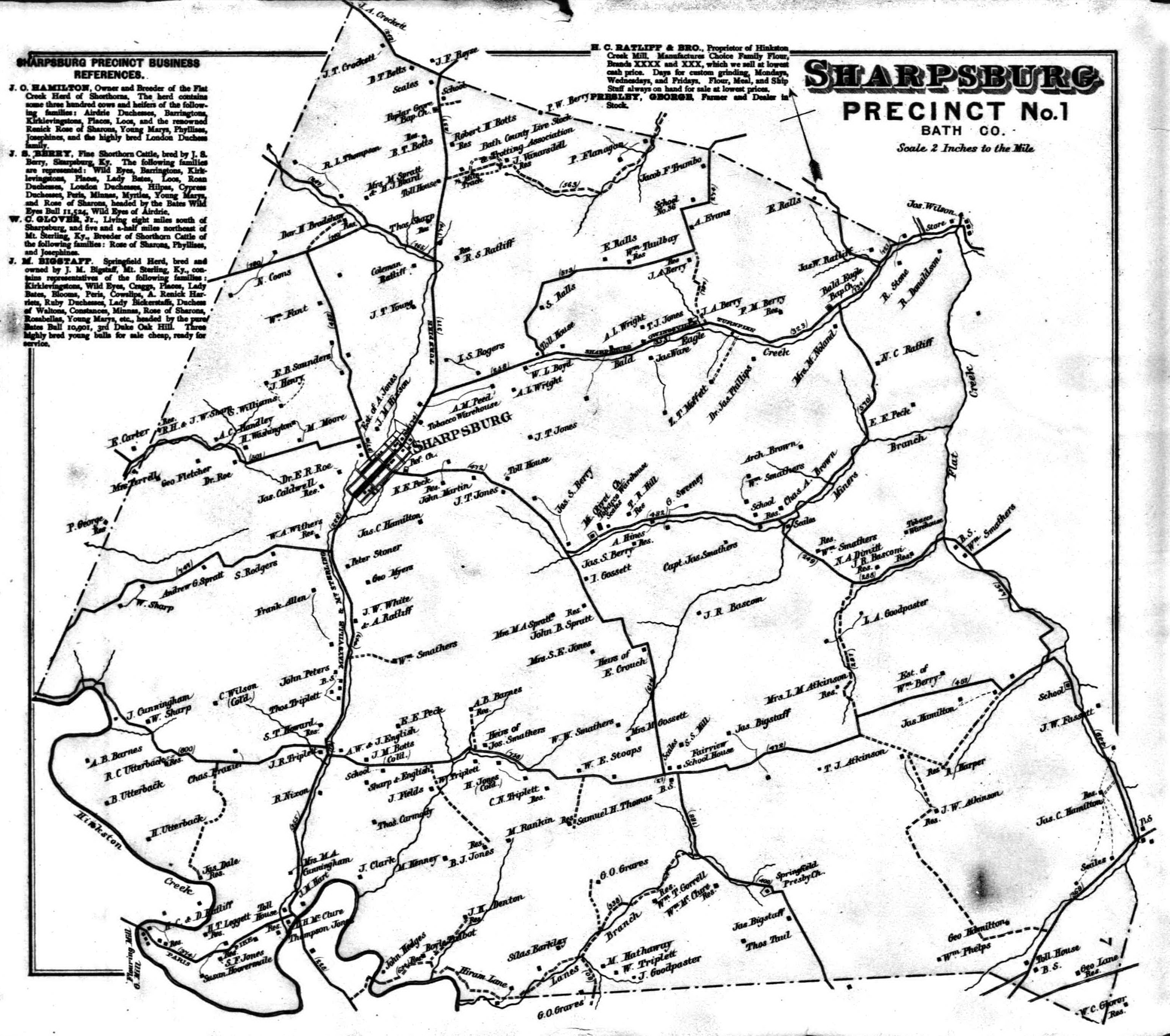
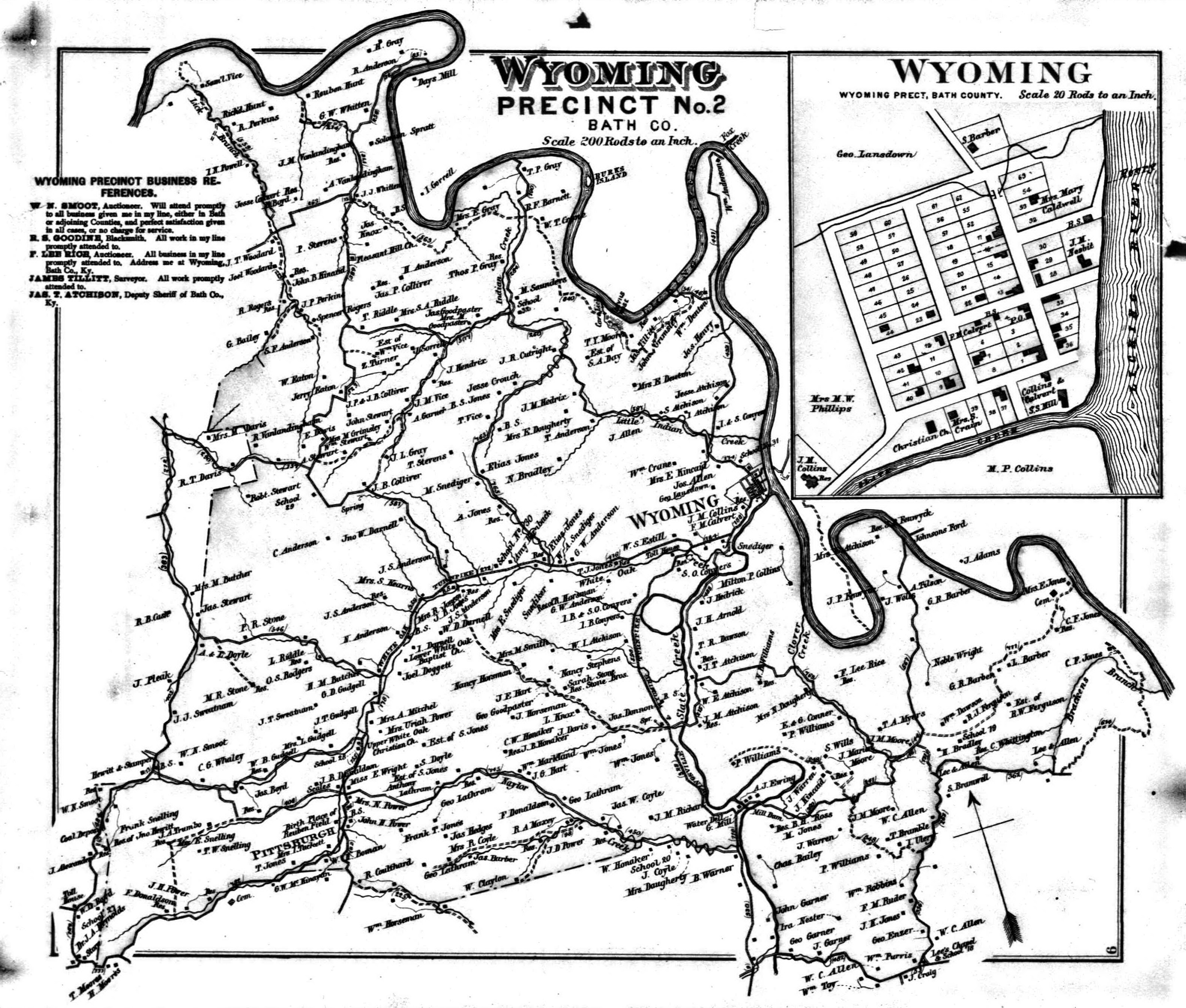
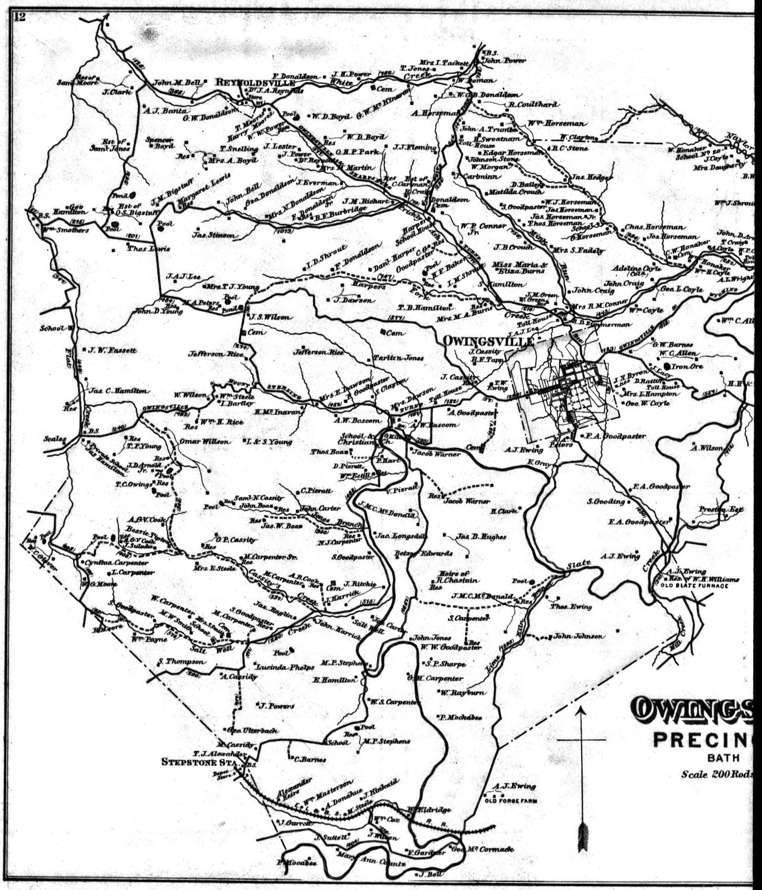
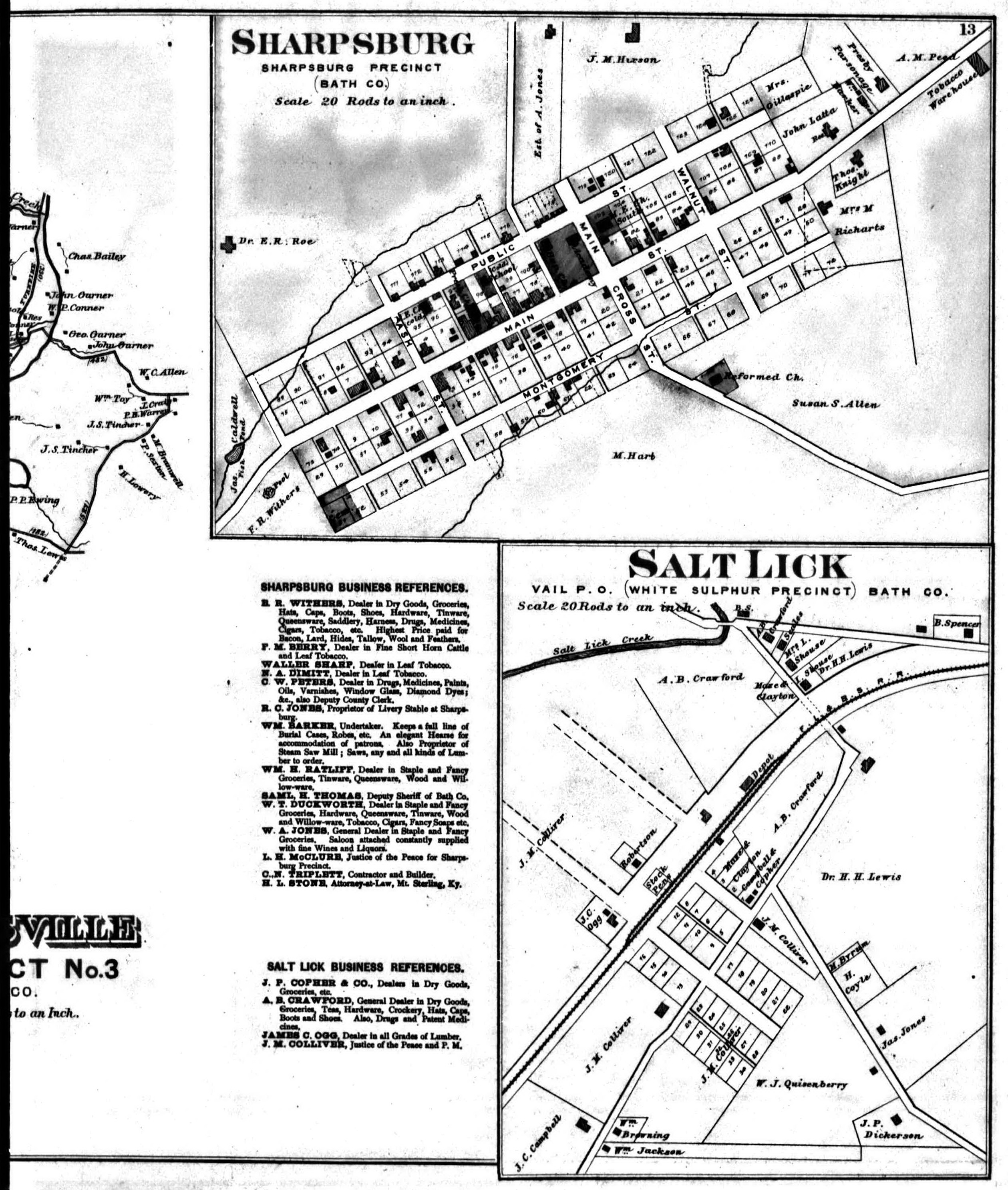
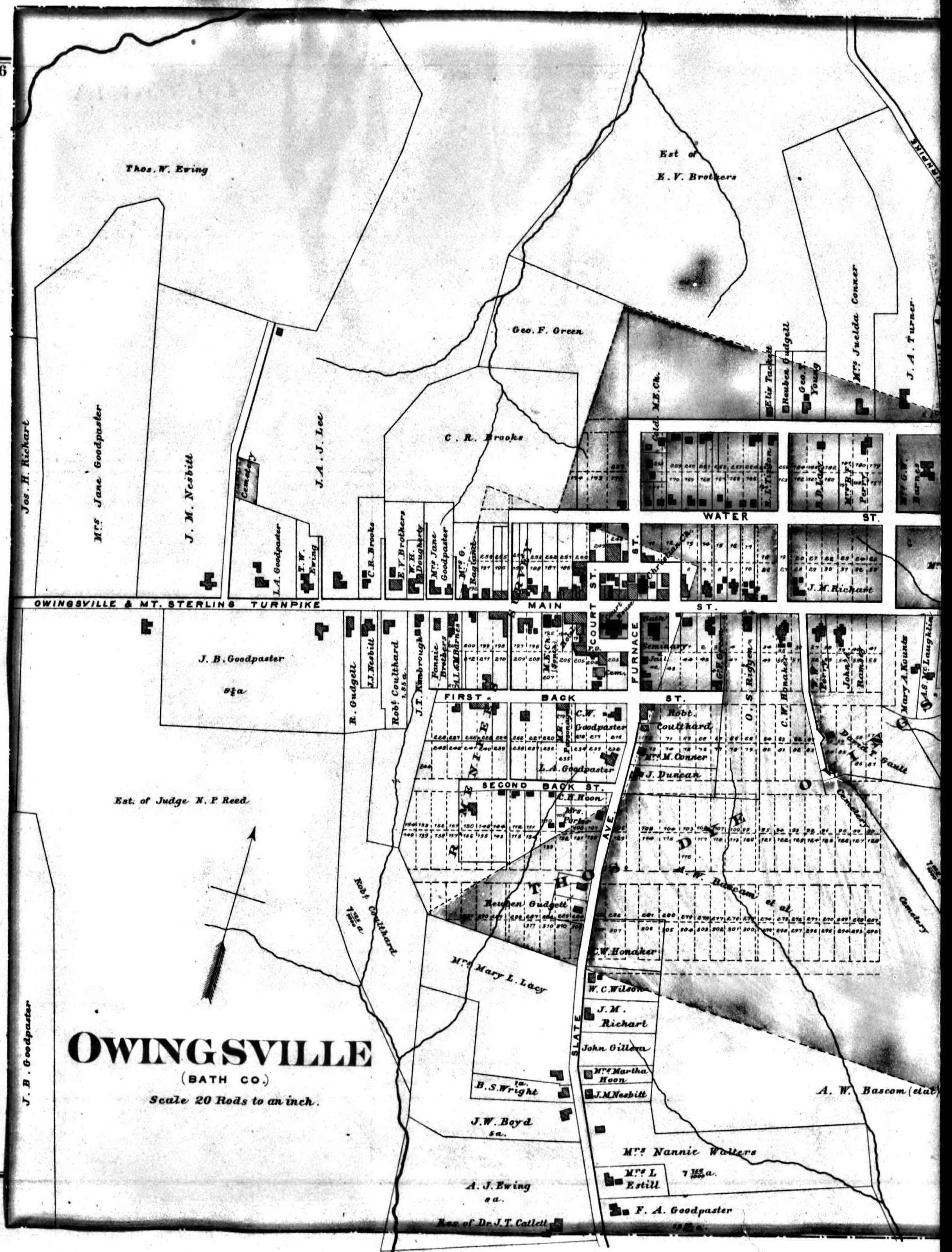
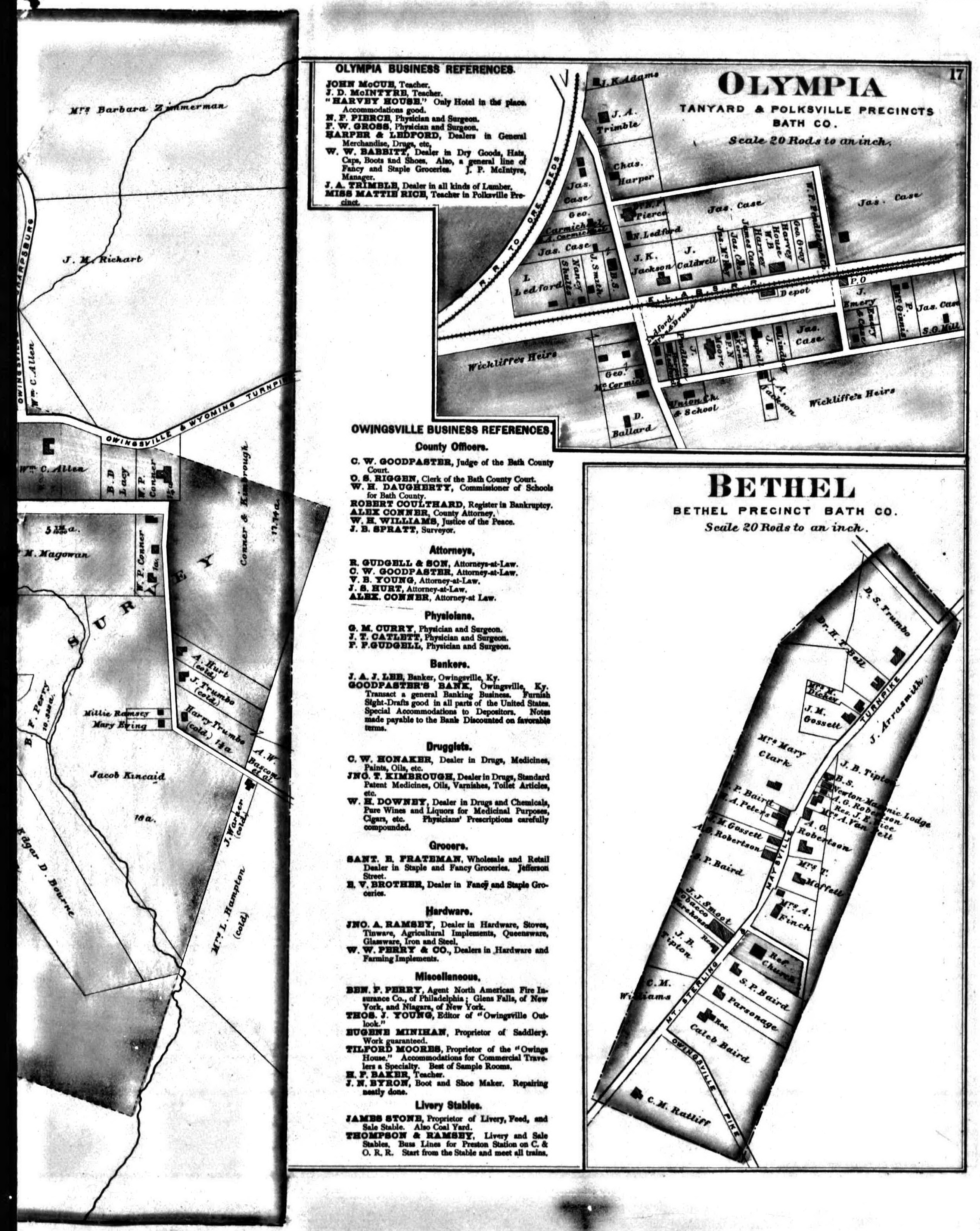
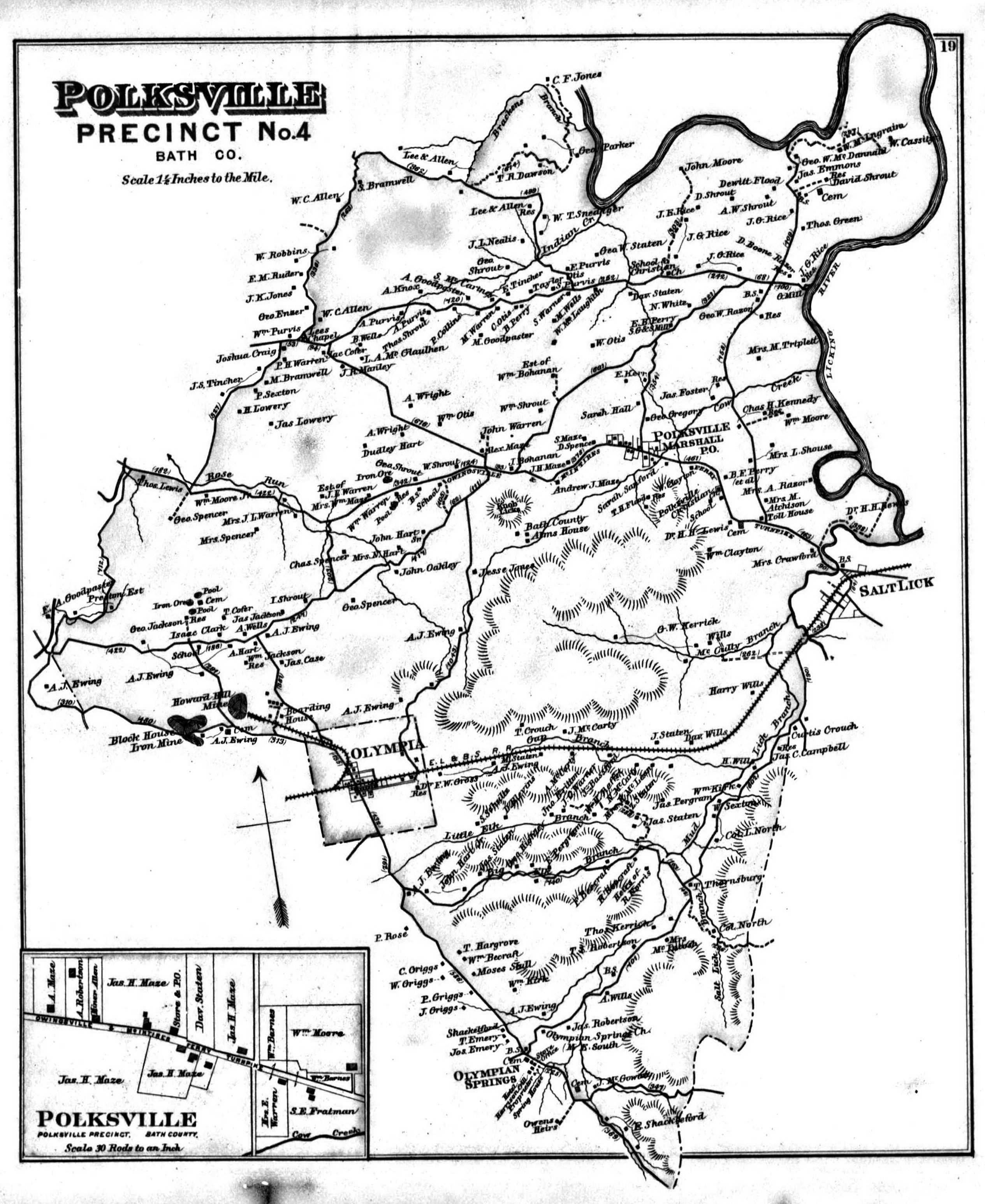
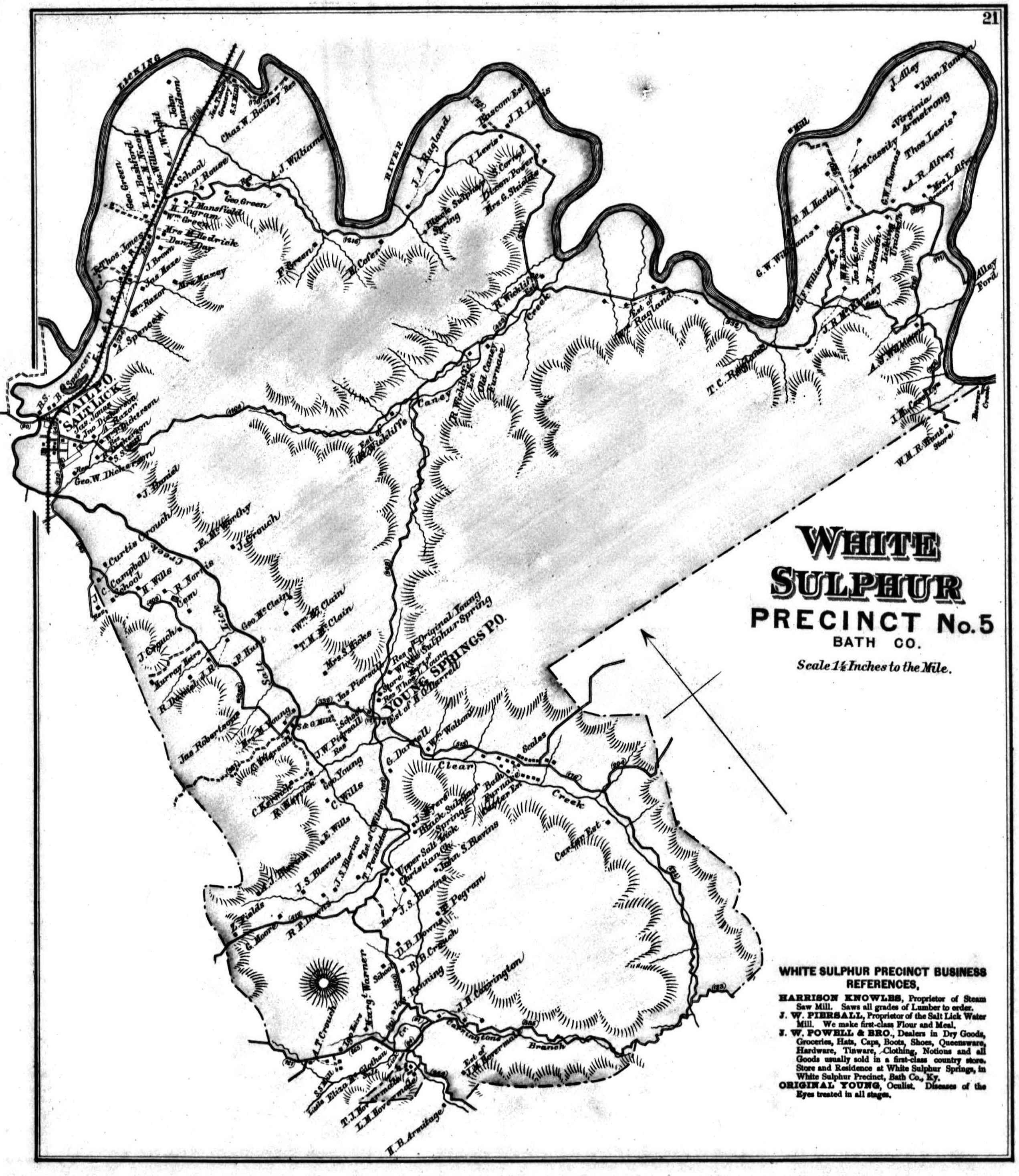
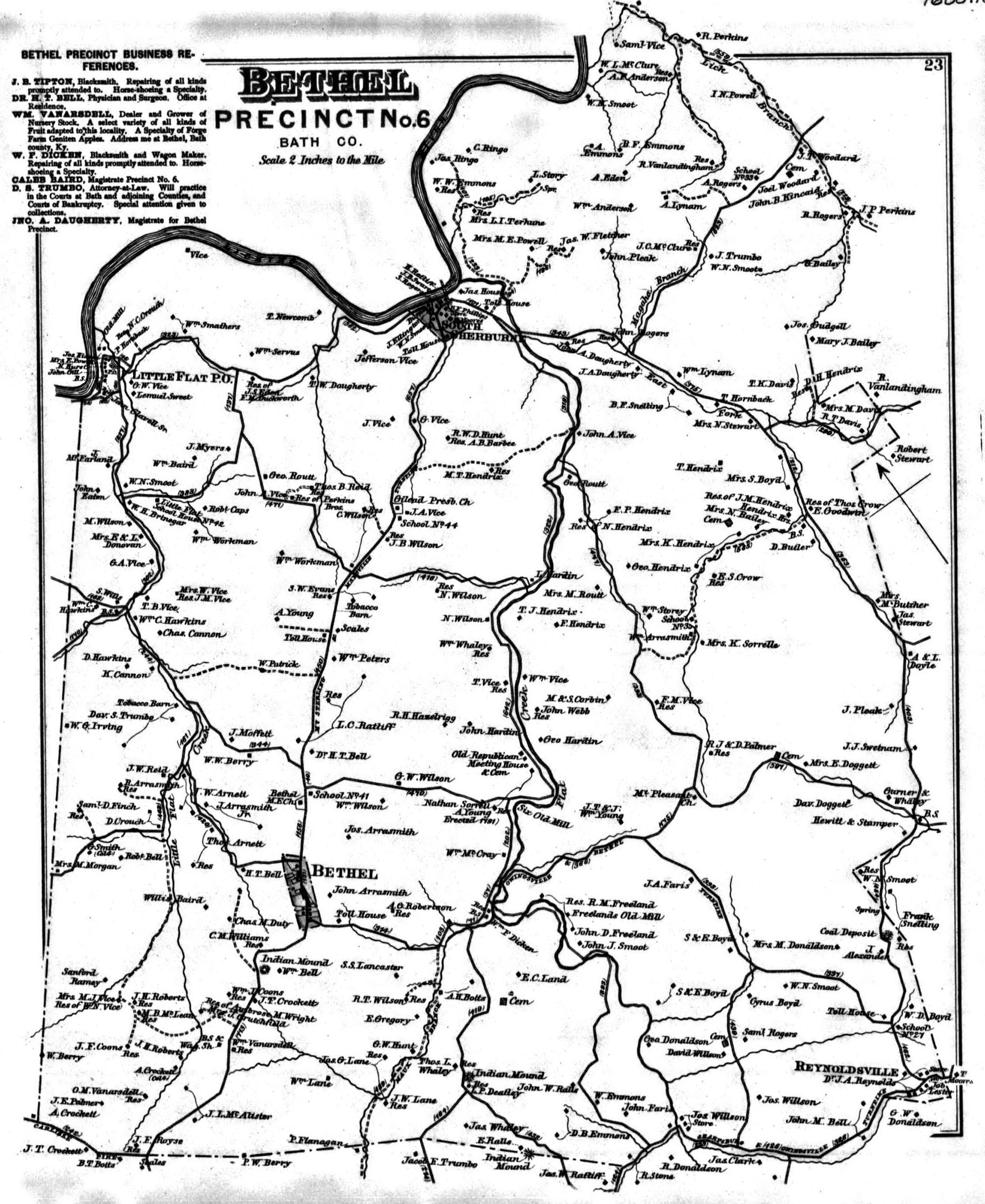
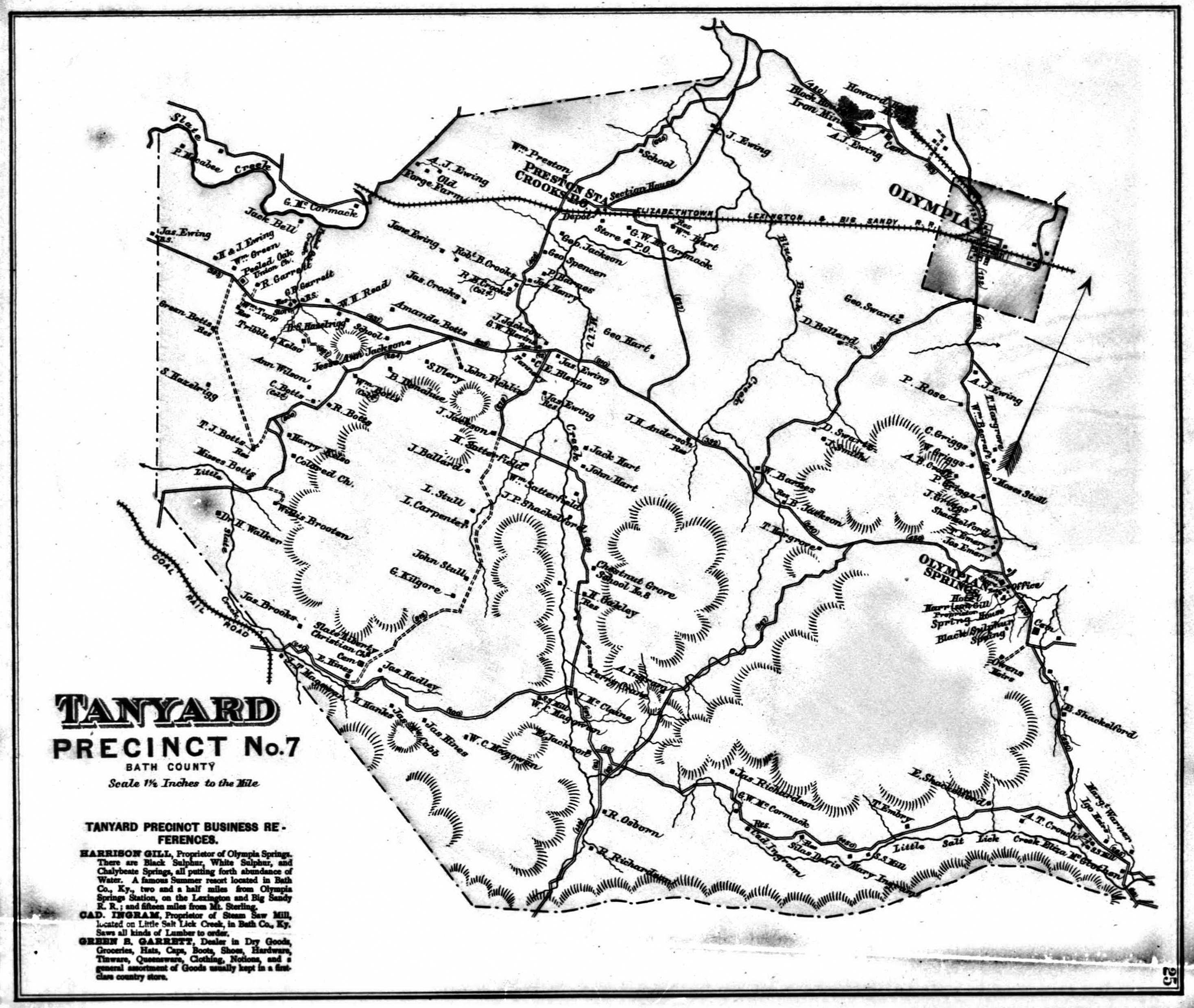
1884 Bath County Land Owners Map
- Bath County
- Sharpsburg
- Wyoming
- Owingsville 1
- Owingsville 2
- Owingsville Town 1
- Owingsville Town 2
- Polksville
- White Sulphur
- Bethel
- Tanyard
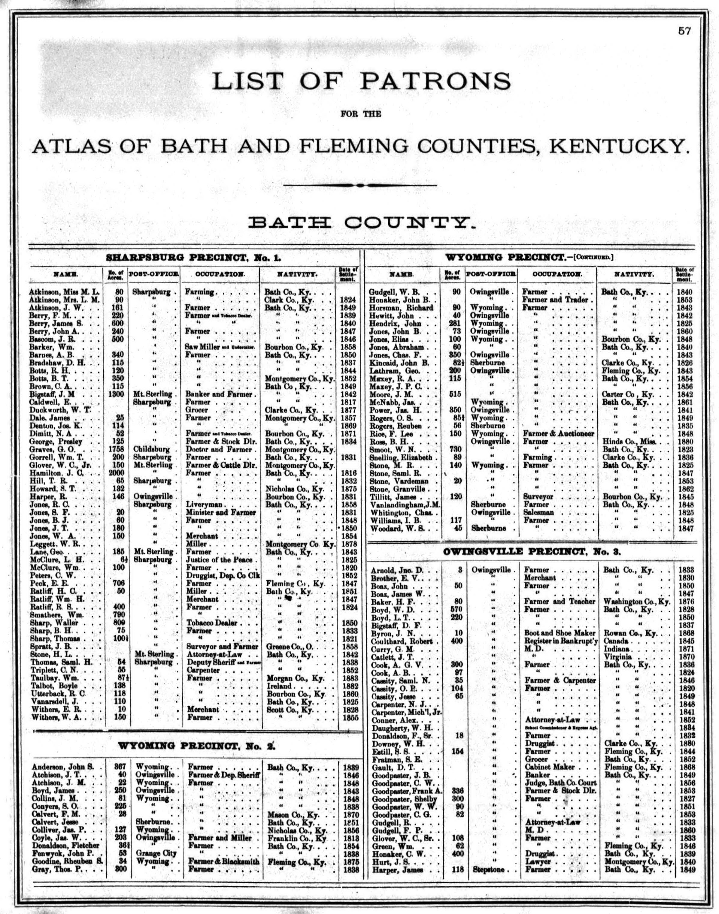
- Bath County Patrons 1
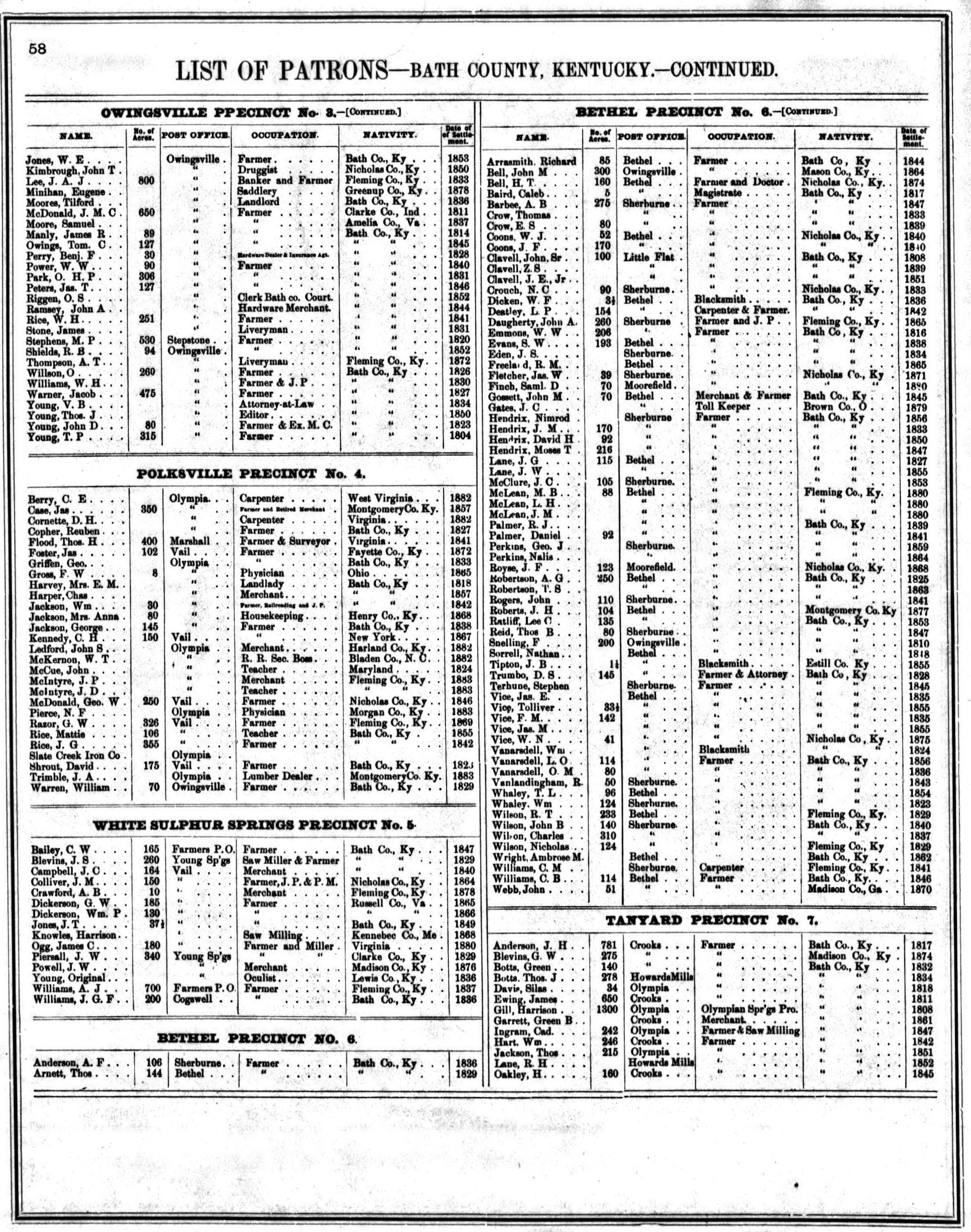
- Bath County Patrons 2
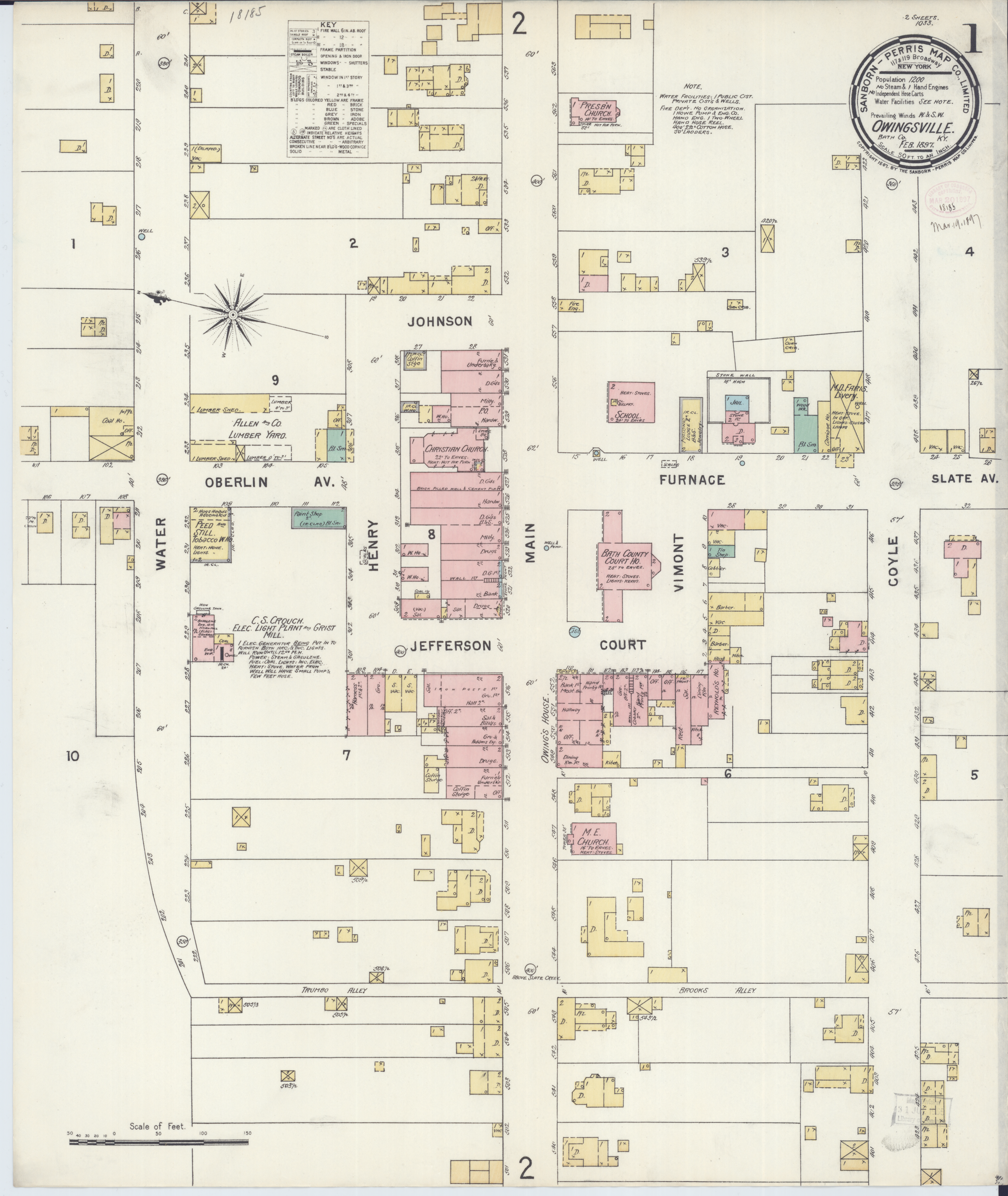
1897 Sanborn Map of Owingsville
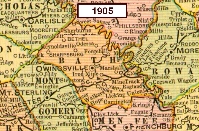
1905 Map of Bath County
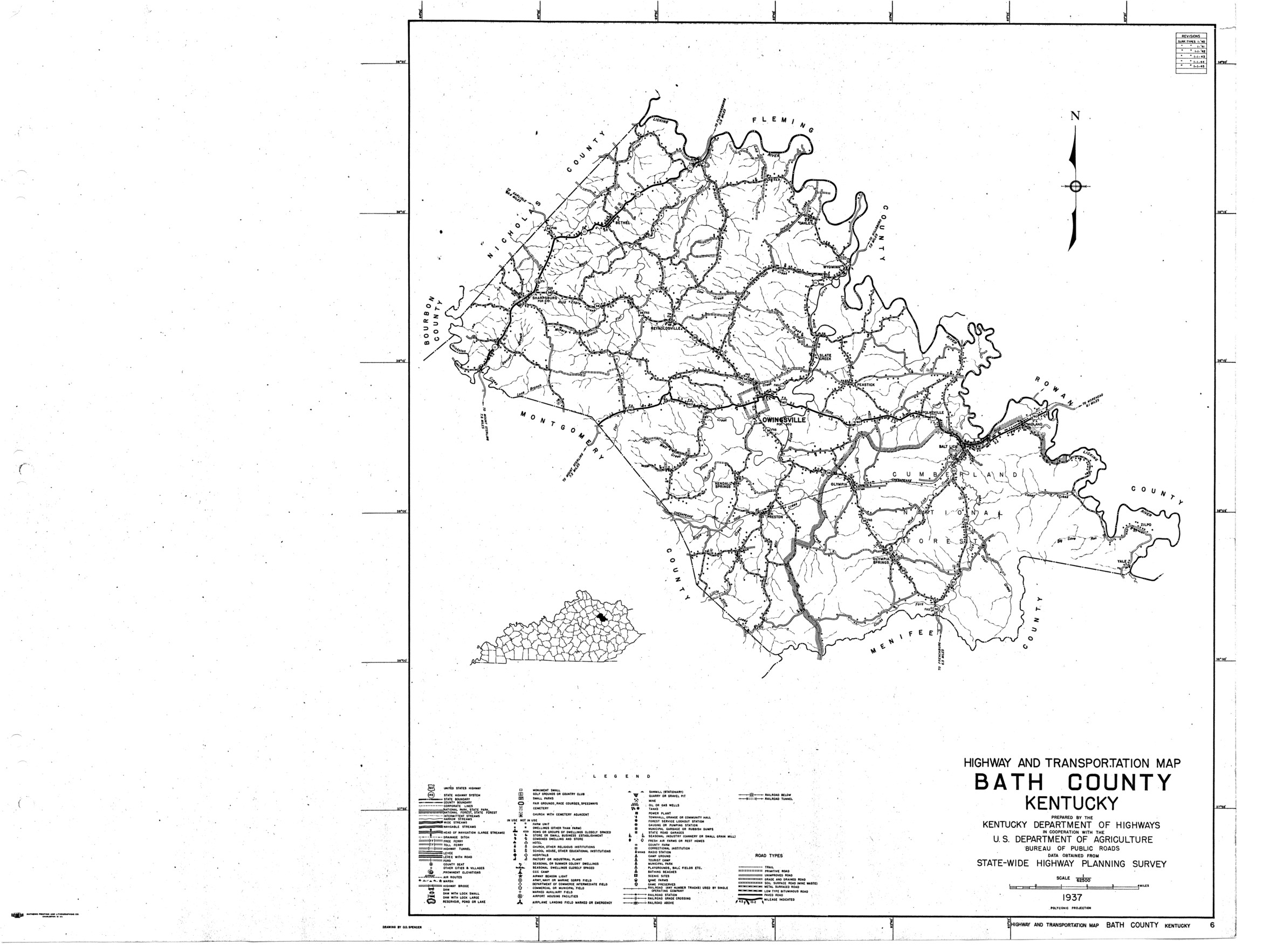
1937 Map of Bath County
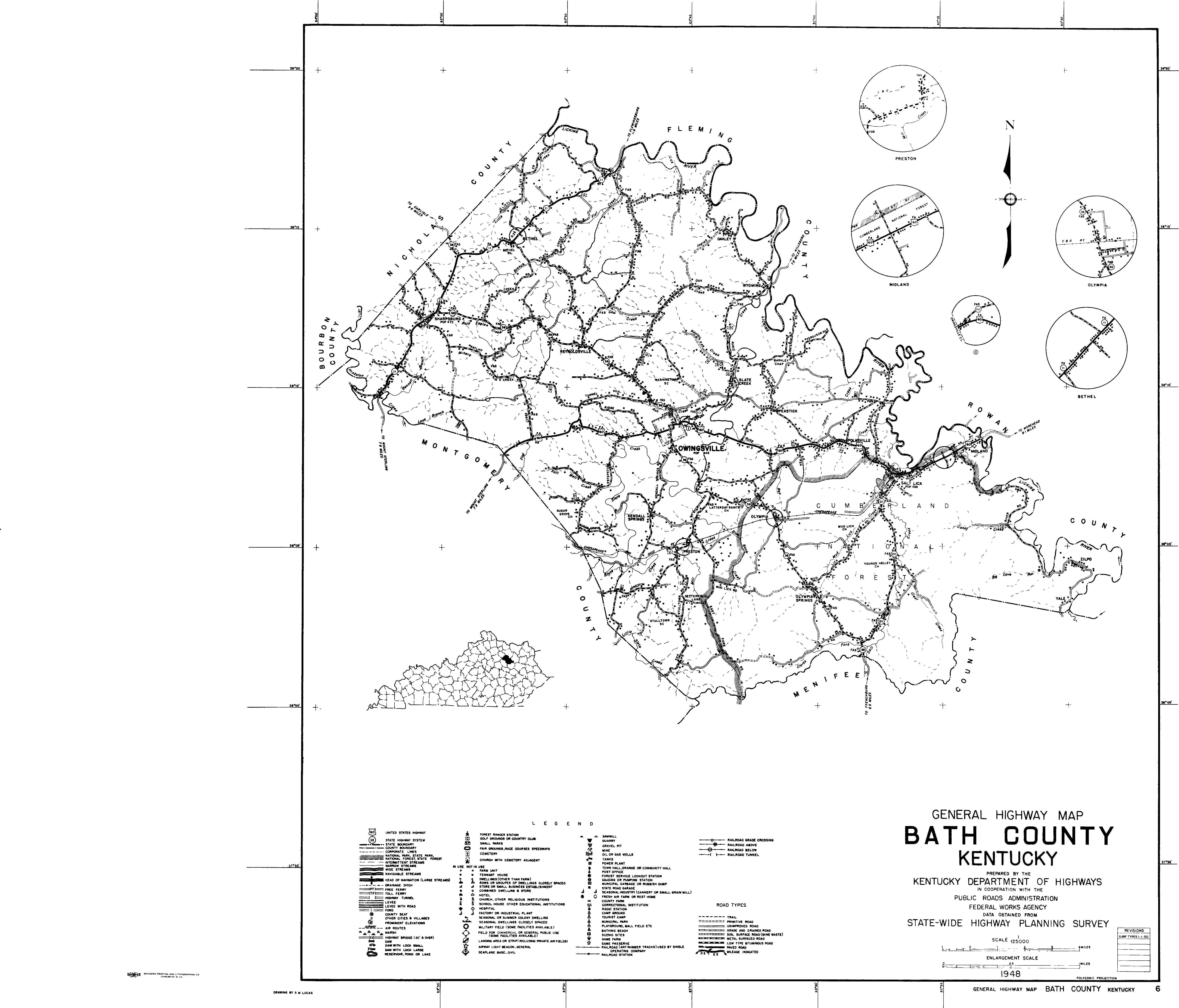
1950 Map of Bath County
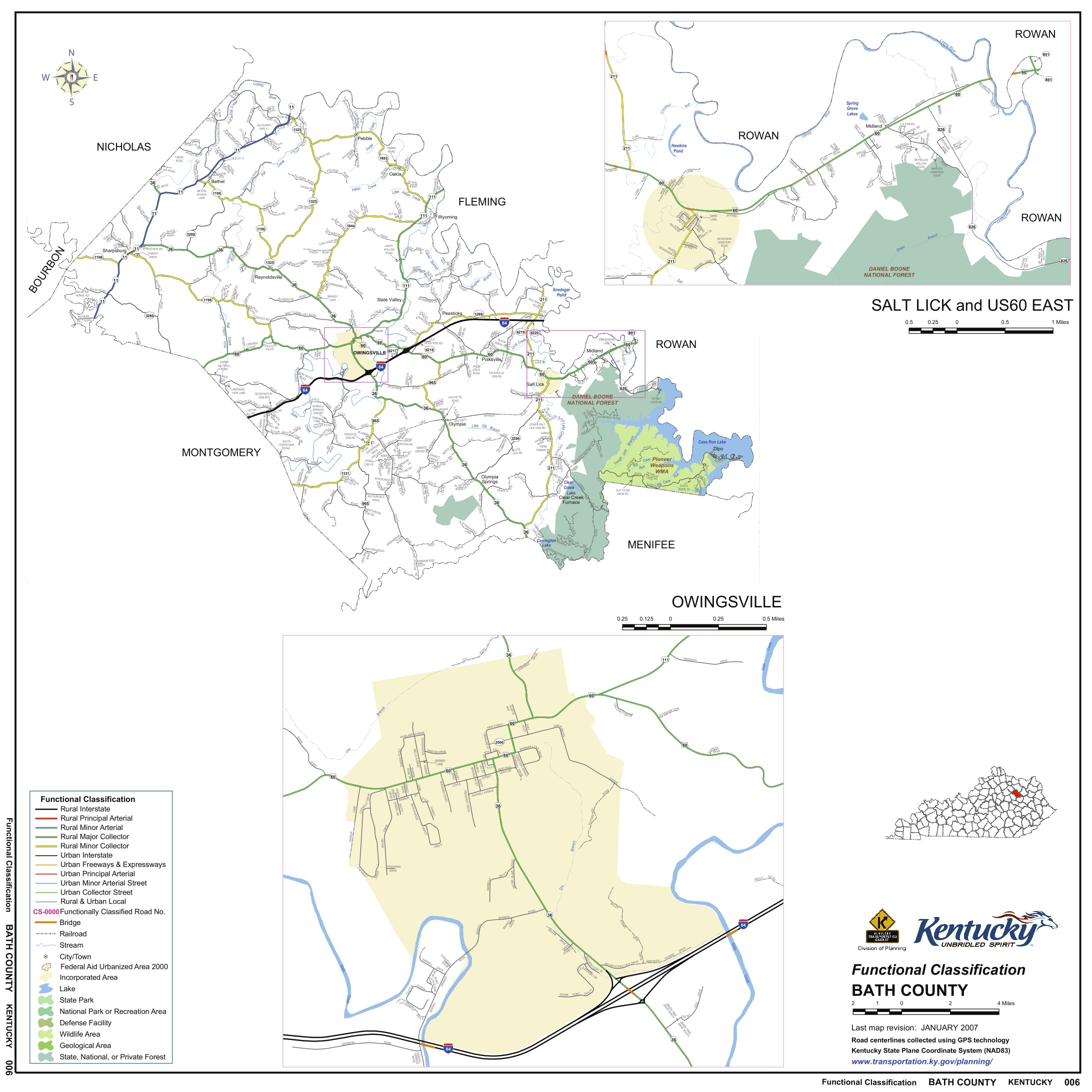
2007 Map of Bath County
Contacts
| Marvin Allen |
| Suzanne Shephard |
| Jeff Kemp |